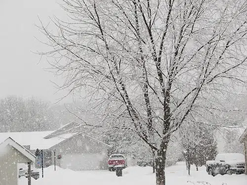
Snow, freezing rain and ice pellets — what you would call a mixed bag of weather is forecasted for later this week.
Environment Canada issued a special weather statement for all of New Brunswick early Wednesday.
Meteorologist Roberta McArthur says precipitation is expected to start in southern New Brunswick as snow on Thursday afternoon.
“It is looking more likely that the snow will transition into a period of ice pellets or freezing rain. That will be sometime Friday morning. It will likely persist as ice pellets or freezing rain until Friday evening,” she says.
From there, McArthur expects it to change back to snow on Friday night before the system moves away on Saturday morning.
“The heaviest snow is expected for more northern into central New Brunswick. Particularly, over the Bay of Fundy is where the highest risk of freezing rain is right now, whereas towards Moncton or Fredericton, it will be more of an ice pellet mixture,” McArthur says.
She says southern New Brunswick could see between 10 and 20 centimetres of snow, whereas to the north, it could be up to 30 centimetres.
Watches and warnings, if amounts meet criteria, are expected to be issued by Environment Canada by Thursday.
04:50 EnvCanada issued statement #Weather #SaintJohn #NBStorm https://t.co/JeQXO5n5ka
— SaintJohn (@ECAlertNB23) February 5, 2020


