The weather in southern New Brunswick has been following an all-too-familiar pattern this July.
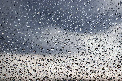
Often we have little sun, lots of clouds and frequent chances of showers or thundershowers.
Environment Canada meteorologist Jill Maepea says sun and heat have been mostly missing this month and the culprit has been an upper level low which has been stuck in place.
“We usually see them move from west to east but we’ve had a blocking pattern. The reason why we have the upper low over our region is basically because they have an upper ridge over the Prairies in the West causing hot temperatures and those dry conditions,” she says.
All-time record highs have been set this summer across the West and combined with a severe drought has led to an aggressive wildfire season.
“This low is very stubborn and it’s going to take a bit to break itself down and eventually move out. Right now some of our longer term models are looking at the second half of August warming back up to those really summer-like temperatures,” she adds.
By contrast, Maepea says June was well above normal in New Brunswick and has even been warmer than July so far.
Precipitation has also been much heavier than usual thanks to several major rain events including Tropical Storm Elsa.
Maepea adds this follows a very dry June and may be great for agriculture but not so much if you’re going camping or heading to the beach.


