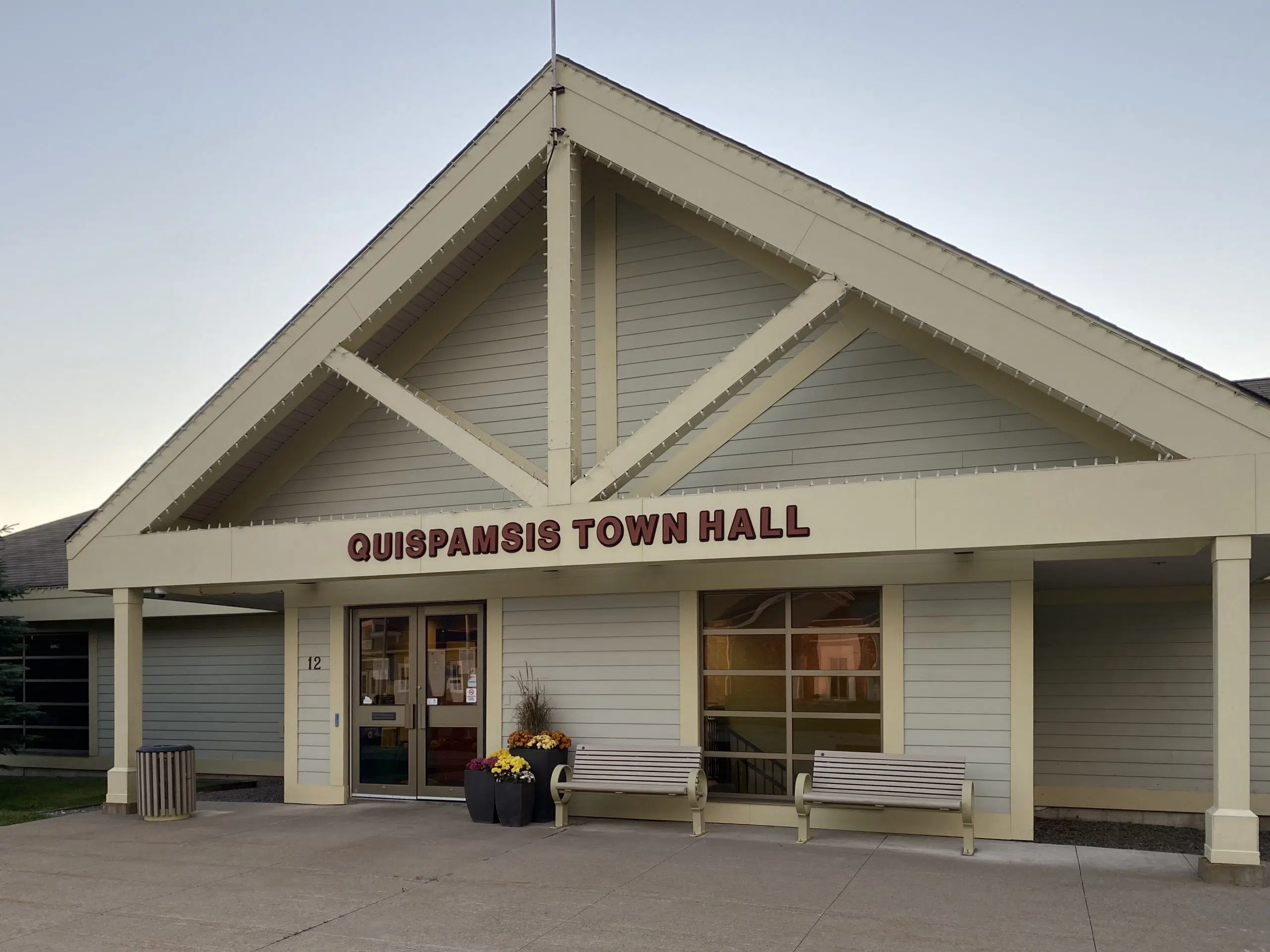
The town hall in Quispamsis. Image: Brad Perry
The town of Quispamsis is one step closer to developing a new Transportation Master Plan.
Council received a report Tuesday outlining the town’s existing infrastructure and policies, among other things.
Gary Losier, the town’s director of engineering and works, said the report will set the stage for developing the plan itself.
“We really feel that this is a good starting point to give council some strategic information when it comes to their own vision over the next few months,” Losier said during Tuesday’s meeting.
The report details the primary traffic corridors through Quispamsis and service levels at the town’s five signalized intersections.
Losier said the intersection of Hampton Road and Campbell Drive/Pettingill Road was found to be the busiest and have the lowest level of service, while the Vincent Road and Quispamsis Road intersection operated at the best levels of efficiency.
When it comes to trails, Losier said the town has seen consistently high use, particularly since the pandemic began.
“What we’re looking to see is if will the trends continue, if this is going to be the new normal when it comes to trail use,” he said.
The report also highlighted key destinations within the town, including the qplex, Quispamsis Memorial Arena, Quispamsis Elementary School, Shoppers Plaza off Hampton Road, Arts & Culture Park, Millennium Drive Commercial District, Kennebecasis Valley High School, Meenan’s Cove Park, and Gondola Point Ferry.
“We look at the nodes being places that people want to go and we say ‘how do they get there?’ This report looked at the [active transportation] network to these particular areas, is there automobile connectivity, is there transit,” said Losier.
“In doing that, it helps us frame a plane for the future in finding gaps where things have been established or where things should be established.”
The report also outlined feedback that was received from community members through a survey in September and October.
Some of the major themes included a focus on active transportation, better connectivity, safety, and traffic management.
Coun. Kerrie Luck said the extensive report provided a good foundation for making informed decisions.
“I also thought it was nice that what the report captured is what at least I’m hearing from residents, so I was really happy to see that,” said Luck.
The report’s authors identified three forward directions for developing the plan: an updated active transportation network plan, a road classification strategy, and exploring transit opportunities.
You can view the full report in Tuesday night’s council agenda, which can be found here.


