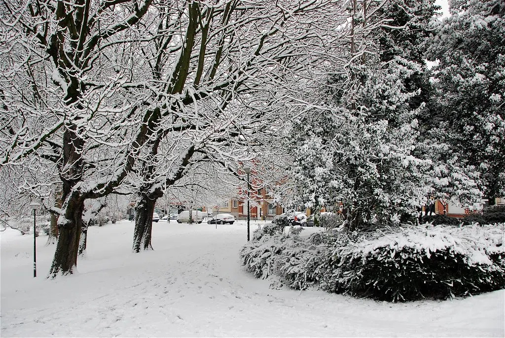
Get those shovels out — we could be in for a significant early spring snowfall later in the week.
Environment Canada issued a special weather statement for all of New Brunswick on Tuesday.
The statement warns of the potential for significant snowfall accumulation Thursday into Friday.
“We do have a system coming from the Great Lakes and there’s one actually coming from Texas. They’re combining and approaching our area,” said Meteorologist Jill Maepea.
Mapea said southern New Brunswick could see 10 to 20 centimetres of snow by the time all is said and done.
Northeastern regions of the province will see the highest accumulations, with possibly more than 30 centimetres in some areas.
“It will be a very heavy and wet snow and possibly mixed at times with rain,” Maepea said in an interview.
“It’s probably going to be the kind of snow that’s going to stick to trees and other infrastructure and weigh things down.”
Maepea said the storm will also bring gusty winds, but blowing snow is not a concern since the snow will be heavy.
She described it as a “complex” system and said there remains a lot of uncertainty, such as the exact timing and snowfall accumulations.
Maepea encouraged people to keep an eye on the latest forecast as the week progresses.=


