
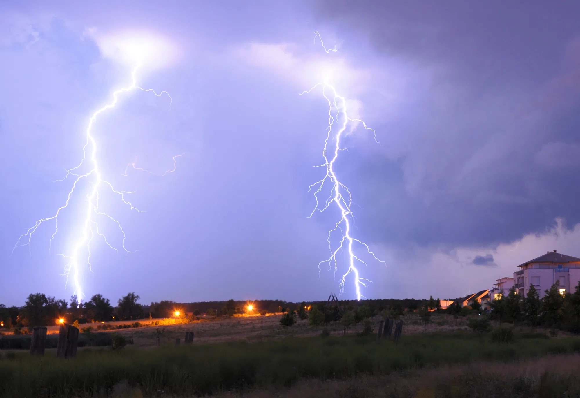
Another round of stormy weather is impacting parts of New Brunswick on Monday, including the risk of tornadoes.
A tornado watch had been issued for Fredericton and southern York County around 5 p.m. but was cancelled about three hours later.
“There is a tornado risk this evening with strong thunderstorms tracking into the country from Maine,” Environment Canada said in the alert.
“Damaging straight-line winds and hail are also possible.”
There were no reports of any tornadoes or any damage.
Meanwhile, a severe thunderstorm watch is in place for Fredericton and southern York County, Woodstock and Carleton County and the Stanley – Doaktown – Blackville area.
“Severe thunderstorms have developed in Maine and are tracking across western New Brunswick this evening,” said the alert.
A severe thunderstorm watch that was in place for St. Stephen and northern Charlotte County ended around 7 p.m. Monday.
A thunderstorm outlook issued by Environment Canada earlier in the day showed a “minor” threat across central and much of southern New Brunswick.
That included wind gusts up to 70 kilometres per hour, hail up to one centimetre in diameter and 15 to 20 millimetres of rain.
However, it said there was a “moderate” threat across a section of southwestern New Brunswick, which included a risk of tornadoes, wind gusts up to 90 kilometres per hour, hail between one and two centimetres in diameter and 20 to 30 millimetres of rain.
Thunderstorm Outlooks for Today, Tonight, and Tuesday. #NBStorm pic.twitter.com/4j5Rkj4cCo
— ECCC Weather New Brunswick (@ECCCWeatherNB) July 7, 2025